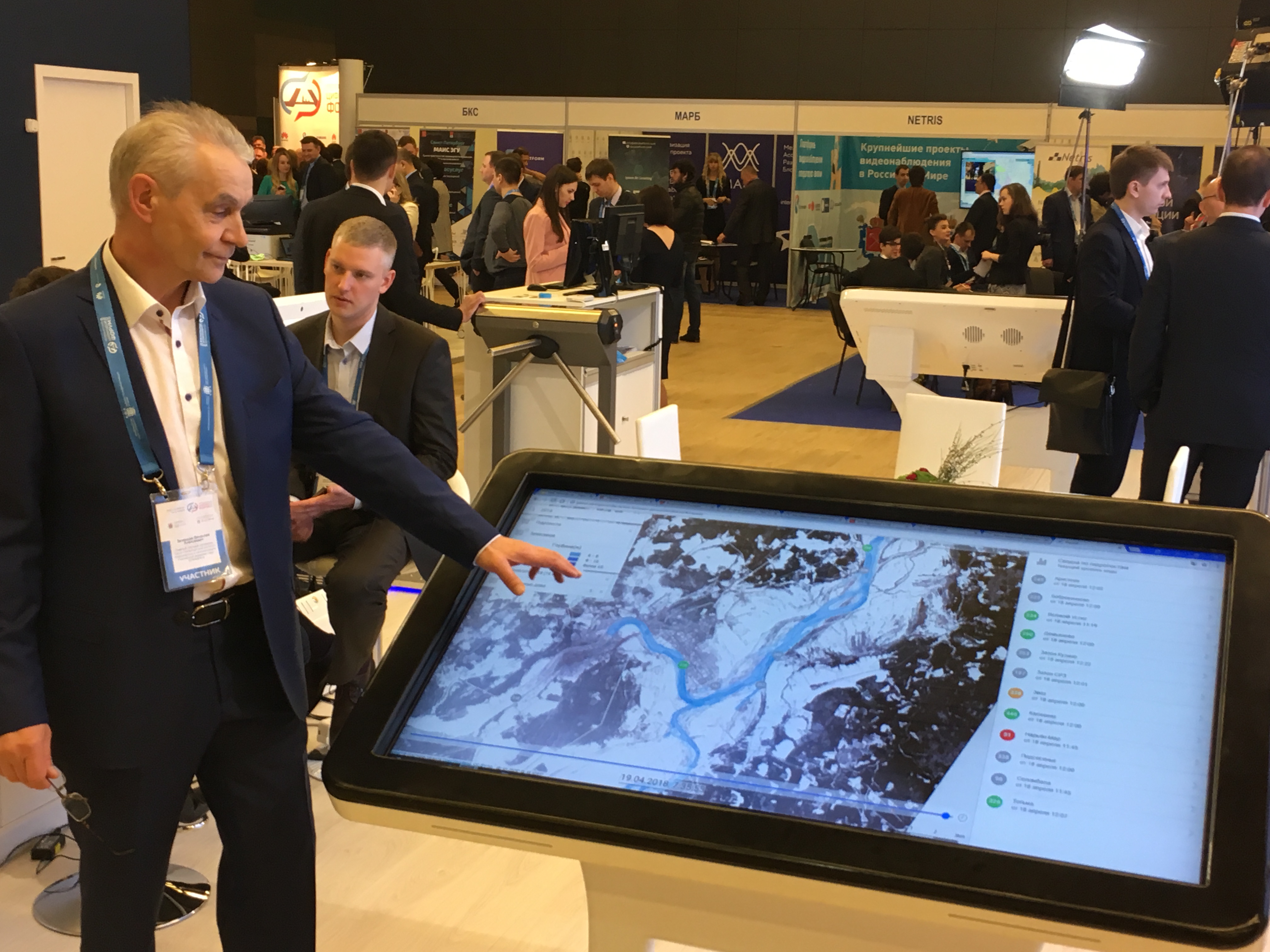
PROSTOR system for monitoring the hydrological situation and flood operative prognosis
Researchers of St. Petersburg Institute for Informatics and Automation of RAS (SPC RAS –SPIIRAS) (
http://www.spiiras.nw.ru/ laboratory ITSAM
https://litsam.ru) together with the research teams from Lomonosov Moscow State University (
http://www.geogr.msu.ru/cafedra/gydro/) and Institute of Water Problems of RAS (
http://www.iwp.ru/) have developed a novel system for flood monitoring and forecasting, as well as for hydrological situation displaying.
PROSTOR information and analytical system is intended for all year-round monitoring the hydrological situation over the zone of interest. In case of flooding the system generates online an operative hourly forecast of submergence zones and depths good for 24-48 hours. A scenario mode of operation is implemented based on the principle: what happens if the water levels at the hydraulic posts reached certain values, or there appeared some combination of ice jams and their descents.
The principal distinctive feature of the PROSTOR system is a full automation of all stages of work, including loading data from hydro posts (automated hydrological complexes) and meteorological data, forming submergence contours and depths, publishing them on the GIS platform, determining the composition of objects falling into the submergence zone, and personal notification of interested parties. Due to automation and the simplified interface, the work for the users not knowledgeable in hydrology, data processing, information and GIS technologies is much facilitated.
Satellite images from the Russian “Resurs-П”, “Canopus-В”, and European “Sentinel-1” and “Sentinel-2” space apparatus are uploaded to the system. Processed and published images provide an extra possibility to analyze the situation within the controlled area and assess the forecast accuracy.
PROSTOR system is primarily focused on the regional use level, when a highly detailed analysis of the available source data is required (digital terrain model, riverbed characteristics, availability of specific infrastructure facilities in potentially flooded areas, etc.), and the requirements for the accuracy of the results used at arranging for protective and rescue measures are particularly high.
To date, the system has been successfully tested on historical data and in real time for the section of the Severnaya Dvina River from Veliky Ustyug to Kotlas.
The system was developed under a financial support of the Russian Science Foundation within Project 17-11-01254. A team of specialists has been formed to work on the project, bringing together Russian leading scientific schools of hydrological modeling, on the one hand, and automation of modeling and integration of heterogeneous information resources, on the other. This determines the uniqueness of the development, its truly interdisciplinary nature, having no analogues in the domestic practice of such projects performing.
PROSTOR system is a completely domestic development (Program Registration Certificate No. 2017612937), based on open source software. The system uses Russian software systems "STREAM 2D "(Program Registration Certificate No.2014612181)," ECOMAG "( Program Registration Certificate No. 2013610703)," Unison Pro "( Program Registration Certificate No. 2016660672) and" Region-B " (Program Registration Certificate No. 2016612635). The software is included in the Unified Register of Russian Computer Programs (Registration No. 4793, Order of the Ministry of Communications of the Russian Federation dated November 30. 2018 No. 665)
