Research team of Russian scientists composed by the specialists from the St. Petersburg Federal Research Center of the Russian Academy of Sciences (SPC RAS) compiled a detailed map of the Magellanic mountains profile - the section of the Pacific Ocean, whose seabed contains enormous deposits of cobalt. The received results will allow for evaluating the amount and localization of this metal being an important raw material for industrial application in metallurgy, petro-chemistry and production of electronics materials. In addition, the developed maps will be used at developing the effective methods for cobalt mining.
Magellanic mountains – form an arc-shaped chain of volcanic structures (underwater elevations) over 1.2 thousand km long, located in the Pacific Ocean East of the Mariana Trench. In the 1960s, Soviet researchers discovered that the seabed in this area is covered with "crusts" containing cobalt, a valuable metal used in production of heavy-duty materials (alloy steel) for military (tank armor, aircraft coating), space (rocket components, satellites), construction and other industrial applications.
According to scientists, the capacity of cobalt deposits localized in the Magellanic Mountains region significantly exceeds the total capacity of currently known world deposits. Therefore, in the nearest future, this section of the Pacific Ocean will be of high interest for the world economy. According to the international legislation, Russia, as the country that discovered the deposits, possesses a license for the exploration and development of the deposit at Magellanic Mountains
"The expeditions in the area of the Magellanic Mountains made comprehensive research – including those in geology, ecology, and study of living organisms. Specifically, we were engaged in geomorphology - mapping the relief of the seabed, as well as studying the rocks’ composition. What is important to do in order to assess cobalt reserves, as well as to localize the richest areas. Without carrying out these works, effective mining is impossible in principle" says Vladimir Anokhin, Leading Researcher at the Laboratory of Geography and Hydrology of SPC RAS.
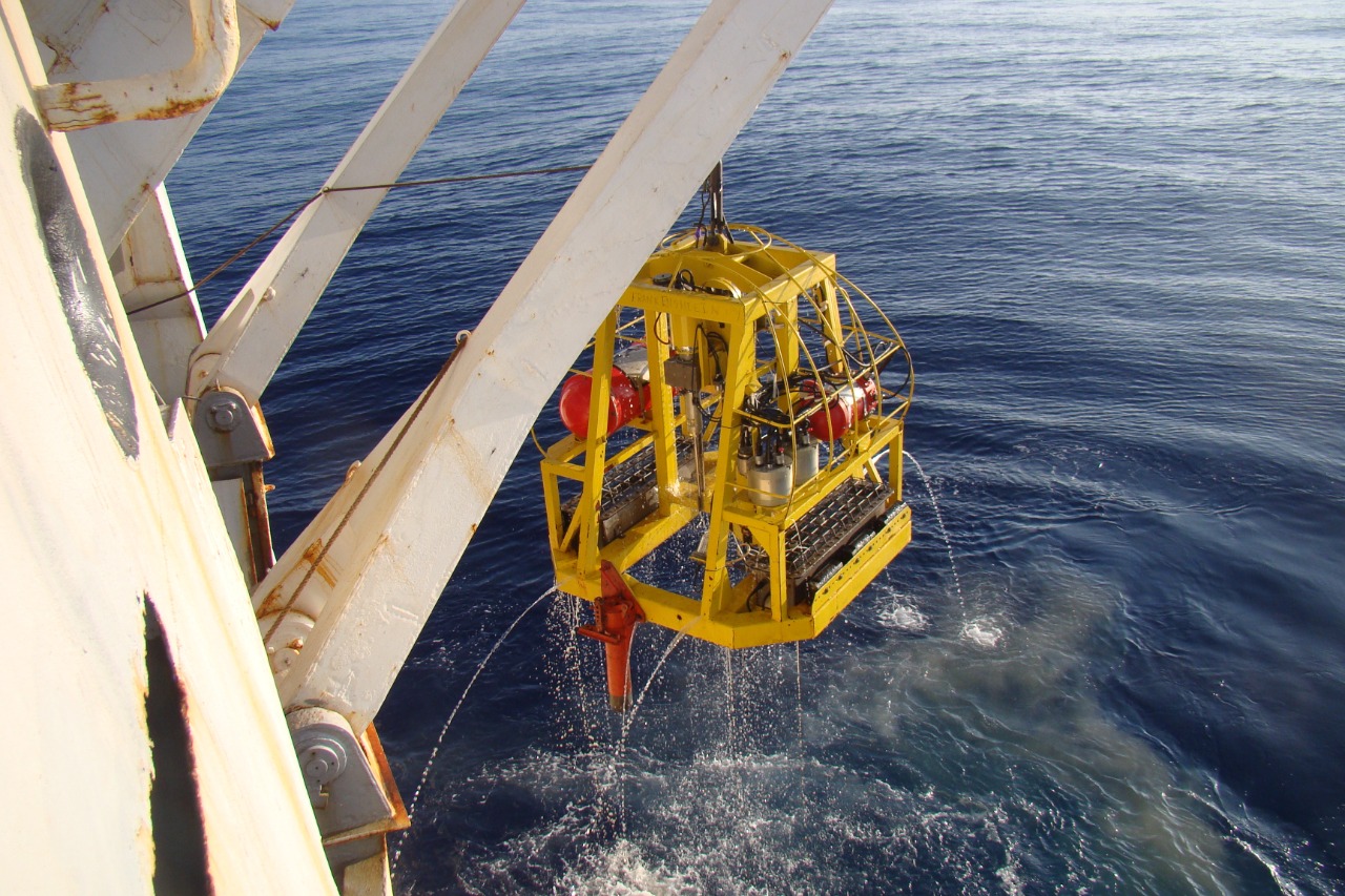
The study of the seabed was carried out via a whole range of different methods. So, to study the rocks’ composition, samples were lifted onto the expedition vessel using a dredge (box sampler), and the thickness of cobalt crusts was measured with a special drilling rig. The geologists studied the collected material aboard the ship, and then the samples were sent to the laboratory
Scientists studied the seabed structure and relief using an echo sounder (a device that applies sound pulses to detect underwater objects). Underwater videography was also used for visual research.
“Following the results of the expeditions, we were able to compile a fairly detailed unique geomorphological map, having no analogues over the world, for the entire area of the Magellanic Mountains (scale 1mm = 500m). This map will provide a reliable assistance at estimating the volume of minerals in this territory, the location of the largest deposits and understand what equipment and infrastructure can possibly be used at resource extraction” Vladimir Anokhin notes.
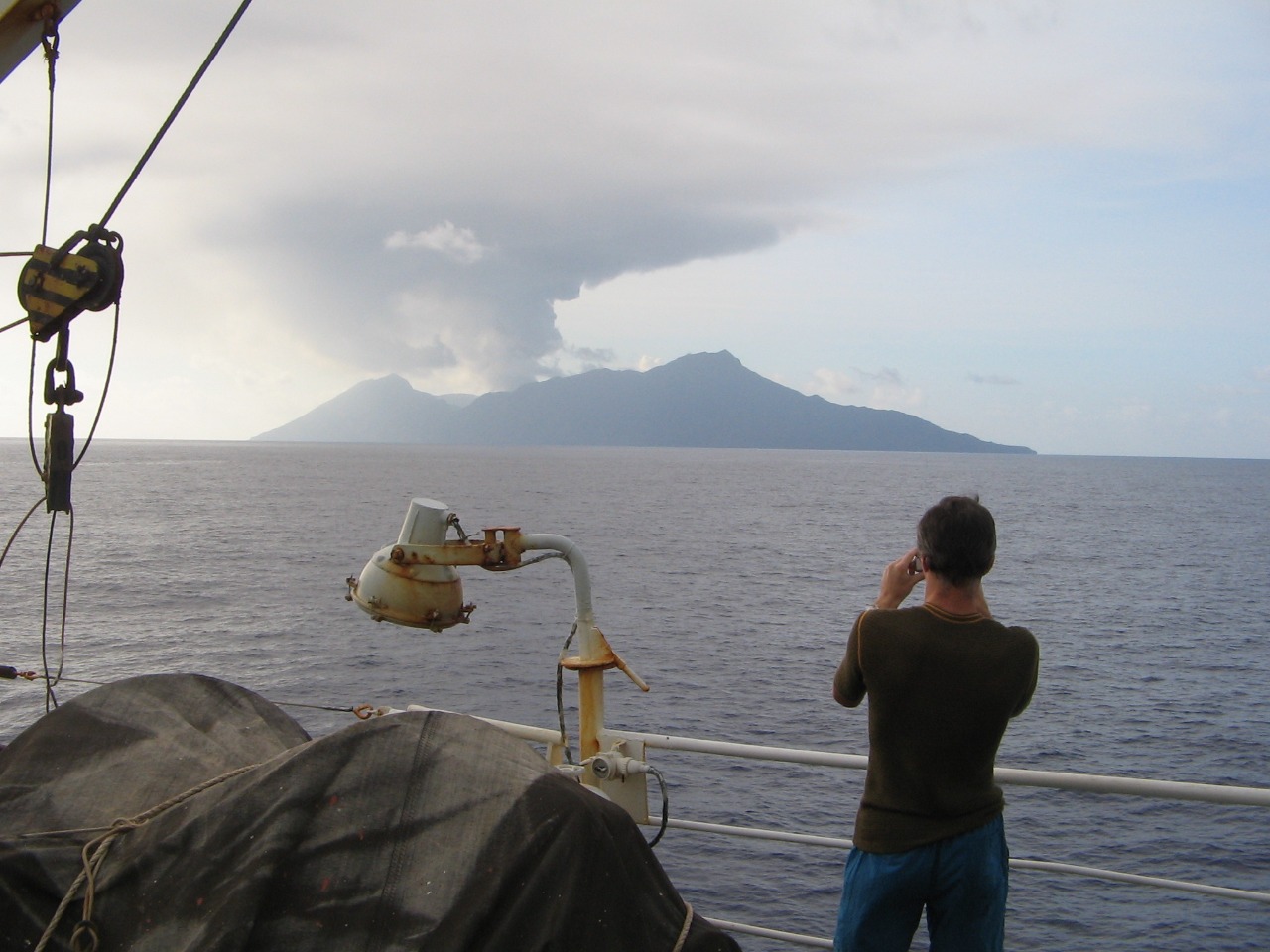
Exploratory works on the territory of the Magellanic Mountains have been launched due to support of the Ministry of Natural Resources and Ecology of the Russian Federation. The expeditions were carried out on scientific vessels of the Yuzhmorgeologiya Research Center (Gelendzhik is a part of JSC “Rosgeologiya”). The expeditions engaged the specialists from various research institutes from all over Russia (in particular, VNIIOceangeology, Pacific Oceanological Institute (POI) of the Far Easte Branch of RAS).